|
|
|
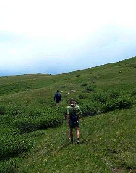
DCP4662.JPG 36.38 Kb Brandon & Joe. |
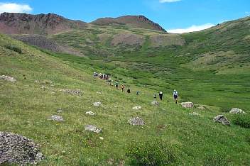
DCP4663.JPG 84.39 Kb I think Cataract Lake is over the saddle in the top right corner. |
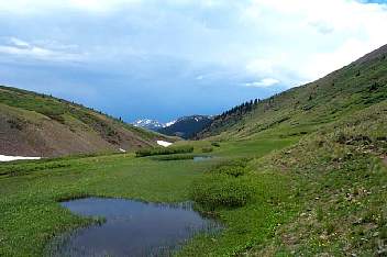
DCP4664.JPG 63.84 Kb Headed towards Pole Creek. |
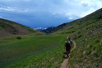
DCP4665.JPG 65.06 Kb Headed towards Pole Creek. Brandon, Joe. |
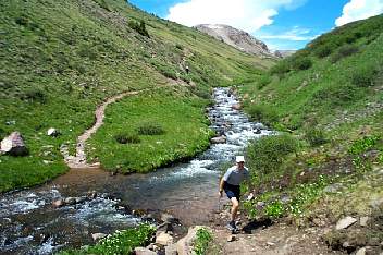
DCP4666.JPG 103.57 Kb Jeff Holdaway at one of the creek crossings before Pole Creek. |
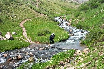
DCP4667.JPG 122.68 Kb Max & Springer. |
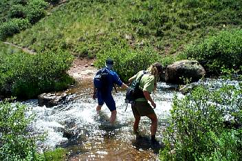
DCP4668.JPG 144.22 Kb At another creek crossing. |
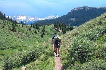
DCP4669.JPG 101.87 Kb Headed towards Pole Creek. |
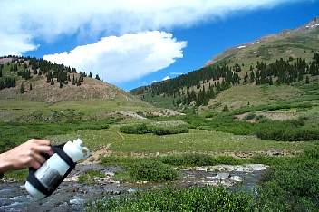
DCP4671.JPG 85.85 Kb Standing at Middle Fork Pole Creek and looking back. We followed a creek down the valley in the center of the picture. Jeff Holdaway's water bottle. |
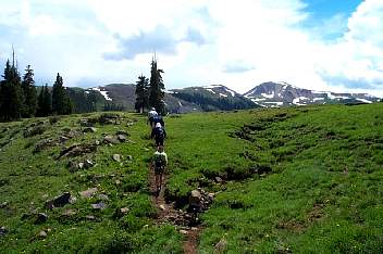
DCP4672.JPG 85.61 Kb Coming up on the spot where the Pole Creek aid station is located. |
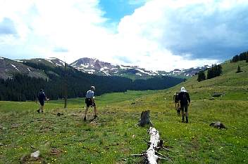
DCP4673.JPG 76.08 Kb Near the aid station looking W up the Pole Creek valley. |
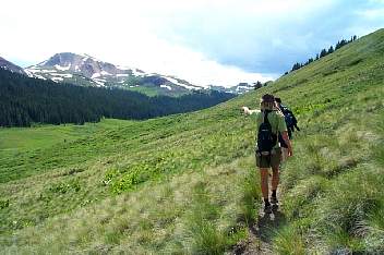
DCP4676.JPG 81.92 Kb Brandon pointing out some elk near the trees. |
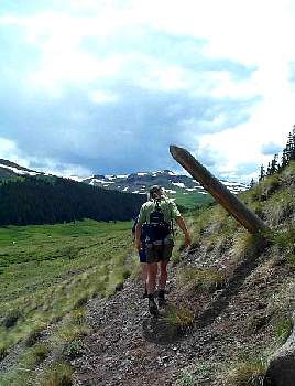
DCP4677.JPG 46.82 Kb Pole Creek. |
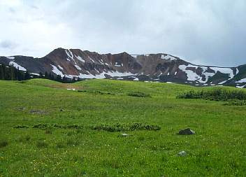
DCP4678.JPG 66.20 Kb Sheep Mountain. |
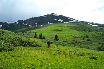
DCP4679.JPG 80.55 Kb Looking at the climb out of Pole Creek. You go to the right. |
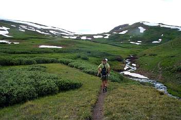
DCP4681.JPG 67.52 Kb Another crossing of Pole Creek. |
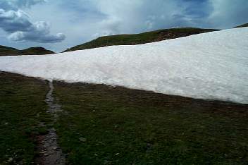
DCP4682.JPG 47.71 Kb Climbing up the Continental Divide before dropping into Maggie Gulch. |
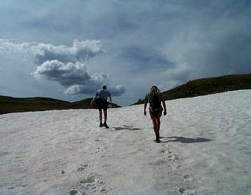
DCP4684.JPG 47.87 Kb Jeff & Brandon. |
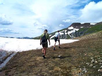
DCP4685.JPG 81.23 Kb Brandon & Jeff at the top of the climb. |
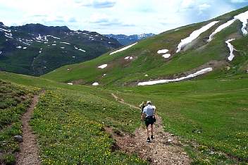
DCP4687.JPG 90.74 Kb Jeff & Brandon starting down into Maggie Gulch. |
1 2